Ivinghoe Beacon
- Distance: 8.2 Km
- Elevation gain: 148 m
- Maximum elevation: 251 m
- Elevation loss: 146 m
- Minimum elevation: 166 m
- Moving time: 1 h 13 m
- Moving speed: 6.8 Km/h
- Maximum speed: 20.1 Km/h
- Total time: 1 h 18 m
- Global speed: 6.3 Km/h
- Date: Thursday, April 25, 2024
Interactive map
GPS track profile
About this GPS track
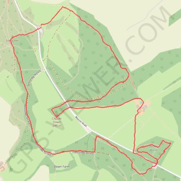
Name: Ivinghoe Beacon GPS track, route, trail
Coordinates: 51.82112 -0.60741 51.83604 -0.58430
Other GPS tracks
Click on a GPS track to view route, its statistics and profile.
Dockey Woods
United Kingdom > England > Buckinghamshire > Ivinghoe
Distance: 9.7 Km • Elevation gain: 150 m • Maximum elevation: 251 m