Yunnan - Rizières dans la brume
Randonnée depuis Honghe Hanizuyizuzizhizhou. #Randonnée
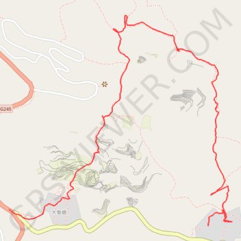
- Distance: 3.9 Km
- Elevation gain: 220 m
- Maximum elevation: 1,847 m
- Elevation loss: 193 m
- Minimum elevation: 1,660 m
- Moving time: 1 h 30 m
- Moving speed: 2.6 Km/h
- Maximum speed: 8.8 Km/h
- Total time: 2 h 9 m
- Global speed: 1.8 Km/h
- Date: Saturday, September 26, 2009
Interactive map
GPS track profile
About this GPS track
Name: Yunnan - Rizières dans la brume GPS track, route, trail
Start: 大鱼塘, 全福庄, 元阳县, 红河哈尼族彝族自治州, Yunnan, Chine (23.10433 102.75182)
End: 巴中 - 金平, 垭口, 黄茅岭乡, 元阳县, 红河哈尼族彝族自治州, Yunnan, Chine (23.10502 102.74150)
Coordinates: 23.10425 102.74150 23.11426 102.75304