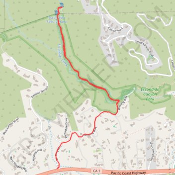
Import a GPX file

Escondido Falls

Escondido Canyon. #Hike #River #Nature #Waterfall

  • Distance: 6.0 Km
  • Elevation gain: 220 m
  • Maximum elevation: 180 m
  • Elevation loss: 220 m
  • Minimum elevation: 42 m

Interactive map

GPS track profile

About this GPS track

Other GPS tracks

Click on a GPS track to view route, its statistics and profile.

Escondido Falls

United States > California > Los Angeles County > Malibu

Hike to Escondido Falls in the Santa Monica Mountains National Recreation Area and the Escondido Canyon Park. #Hike #Falls #Nature #River #Mountain #Canyon #Forest #Park

Distance: 2.8 Km • Elevation gain: 131 m • Maximum elevation: 130 m