Mount Tzouhalem Municipal Forest. Vancouver Island. #Hike #Loop #Tzouhalem #Vancouver
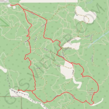
Name: Mount Tzouhalem GPS track, route, trail
Start: Resurrection, North Cowichan, Cowichan Valley Regional District, British Columbia, V9L 5P7, Canada (48.79147 -123.63252)
End: Double D, North Cowichan, Cowichan Valley Regional District, British Columbia, V9L 5P7, Canada (48.79134 -123.63259)
Coordinates: 48.77591 -123.63259 48.79152 -123.61194
Click on a GPS track to view route, its statistics and profile.
Canada > British Columbia > Cowichan Valley Regional District > Area A (Mill Bay / Malahat)
Vancouver Island. #Bike #Bamberton #Nanaimo #Vancouver
Distance: 78.4 Km • Elevation gain: 757 m • Maximum elevation: 116 m