Mill Creek MTB Trails. #MTB #Loop #MillCreek
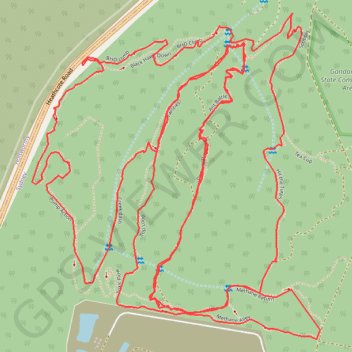
Name: Heathcote MTB Loop GPS track, route, trail
Start: Heathcote Road, Lucas Heights, Sutherland Shire, Sydney, Sutherland Shire Council, New South Wales, 2234, Australia (-34.02901 150.96425)
End: Heathcote Road, Lucas Heights, Sutherland Shire, Sydney, Sutherland Shire Council, New South Wales, 2234, Australia (-34.02901 150.96425)
Coordinates: -34.03752 150.96239 -34.02746 150.97310
Click on a GPS track to view route, its statistics and profile.
Australia > New South Wales > Sydney
Royal National Park. #Bike #Royal #Sydney
Distance: 89.0 Km • Elevation gain: 1,166 m • Maximum elevation: 242 m
Australia > New South Wales > Minnamurra
#Bike #Royal #Sydney
Distance: 126.0 Km • Elevation gain: 1,383 m • Maximum elevation: 225 m