Import a GPX file

Houston - Burns Lake

#Bike #Houston #Burns

  • Distance: 79.6 Km
  • Elevation gain: 760 m
  • Maximum elevation: 878 m
  • Elevation loss: 686 m
  • Minimum elevation: 600 m

Interactive map

GPS track profile

About this GPS track
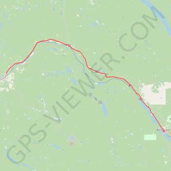
Other GPS tracks

Click on a GPS track to view route, its statistics and profile.

Smithers - Houston

Canada > British Columbia > Regional District of Bulkley-Nechako > Smithers

#Bike #Smithers #Houston

Distance: 65.6 Km • Elevation gain: 642 m • Maximum elevation: 842 m