San Mateo Peak
Interactive map
GPS track profile
About this GPS track
Name: San Mateo Peak GPS track, route, trail
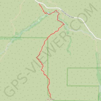
Start: Morgan Trailhead, Riverside County, California, 92530, United States (33.63355 -117.38303)
End: San Mateo Peak Trail, Riverside County, California, 92530, United States (33.61338 -117.37998)
Coordinates: 33.61338 -117.38356 33.63357 -117.37642
Other GPS tracks
Click on a GPS track to view route, its statistics and profile.