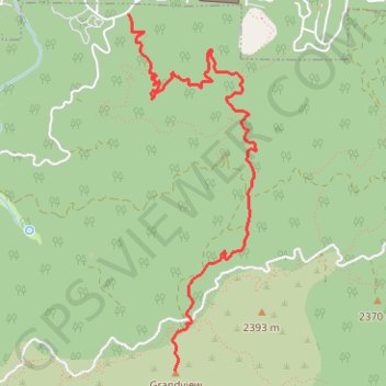
Grand View Point
Interactive map
GPS track profile
About this GPS track
Name: Grand View Point GPS track, route, trail
Start: Pineknot Trail 1E01, San Bernardino County, California, 92315, United States (34.23571 -116.92751)
End: Skyline Trail, San Bernardino County, California, 92315, United States (34.21163 -116.92379)
Coordinates: 34.21163 -116.92751 34.23571 -116.91717
Other GPS tracks
Click on a GPS track to view route, its statistics and profile.
Camp Osito Road
United States > California > San Bernardino County
San Bernardino National Forest. #Hike #SanBernardino
Distance: 2.8 Km • Elevation gain: 132 m • Maximum elevation: 2,321 m