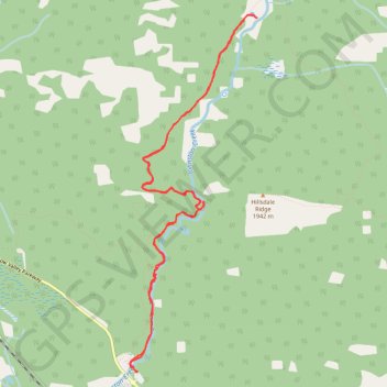
Johnston Canyon - Ink Pots
Interactive map
GPS track profile
About this GPS track
Name: Johnston Canyon - Ink Pots GPS track, route, trail
Start: Bow Valley Parkway, Division No. 15, Alberta, Canada (51.24589 -115.84007)
End: Bow Valley Parkway, Division No. 15, Alberta, Canada (51.24589 -115.84007)
Coordinates: 51.24589 -115.84109 51.27839 -115.82260
Other GPS tracks
Click on a GPS track to view route, its statistics and profile.