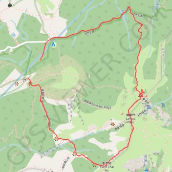
20240113Outdoor walk(1)
- Distance: 3.9 Km
- Elevation gain: 547 m
- Maximum elevation: 884 m
- Elevation loss: 551 m
- Minimum elevation: 376 m
- Moving time: 1 h 39 m
- Moving speed: 2.4 Km/h
- Maximum speed: 5.5 Km/h
- Total time: 4 h 17 m
- Global speed: 0.9 Km/h
- Date: Saturday, January 13, 2024
Interactive map
GPS track profile
About this GPS track
Name: 20240113Outdoor walk(1) GPS track, route, trail
Coordinates: 22.24680 113.91240 22.25748 113.92084
Other GPS tracks
Click on a GPS track to view route, its statistics and profile.
2024 4TUL Half Loop Final
China > Hong Kong > Tsuen Wan District > Chuen Lung Village > Chuen Lung Cha Tau Wo
Distance: 89.0 Km • Elevation gain: 2,267 m • Maximum elevation: 535 m