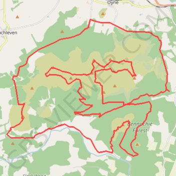
Unnamed Route
Route created on plotaroute.com
- Distance: 50.8 Km
- Elevation gain: 1,517 m
- Maximum elevation: 516 m
- Elevation loss: 1,517 m
- Minimum elevation: 101 m
- Moving time: 12 h 23 m
- Moving speed: 4.1 Km/h
- Maximum speed: 13.6 Km/h
- Total time: 12 h 23 m
- Global speed: 4.1 Km/h
- Date: Tuesday, September 13, 2022
Interactive map
GPS track profile
About this GPS track
Name: Unnamed Route GPS track, route, trail
Coordinates: 57.25891 -2.62464 57.31442 -2.50249